Digital Twin
A measured record of the work and the space it occupies.
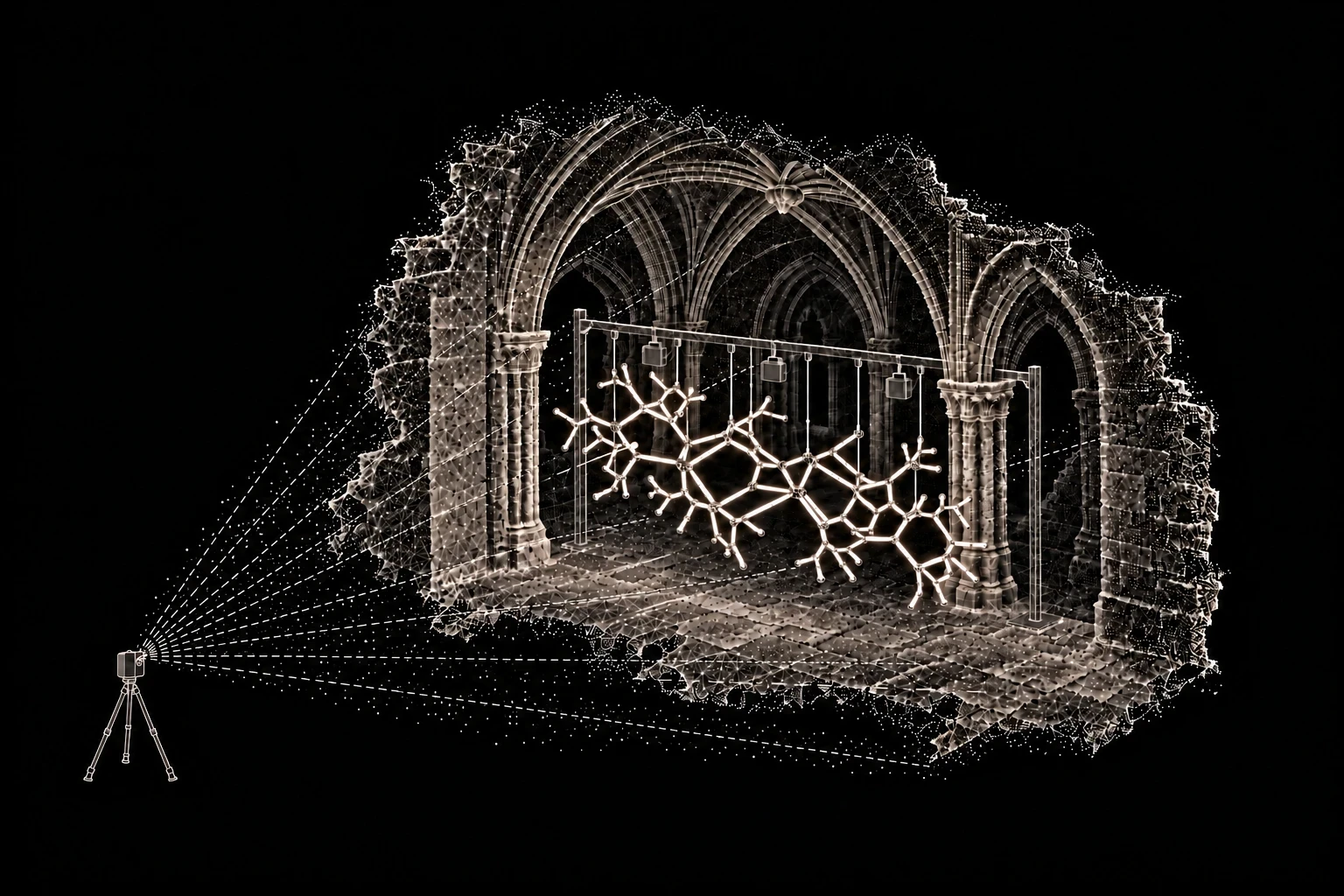
Digital Twin documents a set, installation or exhibition in three dimensions, together with the space around it. Scans and photographs form a dated record of its dimensions, layout and visible surfaces.
Production teams can return to this material to study an arrangement, check measurements or plan how the work might fit another venue. The survey also gives the venue a record of the areas included, for its own documentation and future projects.
Recording the work in place
Capture is planned while the work is installed, whether during setup, between performances or before dismantling. The studio agrees with the production team which arrangement to record, which areas need attention and when they can be accessed. The lighting conditions and configuration of the work are documented alongside the survey.
The required detail and accuracy are agreed around the intended use. Separate scans are aligned into a shared coordinate system and checked against independent measurements. The report records the method, the accuracy achieved and any areas that could not be captured reliably.
The work and its venue
The position of a set within a stage, or an installation within a room, helps explain how the work was presented. Recording the surrounding space keeps those relationships available for later study and adaptation.
The survey can also include areas the venue needs for its own documentation, such as the stage, auditorium or access routes. Its extent is agreed beforehand, and the venue receives the relevant material for future installations and changes to the space.
Permissions, restricted areas and the treatment of anyone captured incidentally are agreed before the survey. Public versions include only material cleared for release.
Preparing the record for future use
The measured data, the 3D model derived from it and the survey report are delivered together. Open, documented formats, including E57 for point clouds, allow the material to be used in compatible software beyond the tools used to create it.
Names, versions and relationships between files follow information-management principles drawn from ISO 19650. The documentation identifies the capture date, scale, coordinate system and any processing needed to understand the result.
A browsable walkthrough can be prepared as an access copy for the client or archive to host. The handover identifies its software and hosting requirements. This viewing copy remains separate from the measured data and the documentation used to assess it.
Working with the other services
Digital Twin can be commissioned on its own. When combined with Technical Drawings, the survey provides a measured basis for drawings and models that explain construction or venue adaptation. Data Management can connect surveyed elements and recorded camera positions to related files. Views derived from the model can support riders and dossiers prepared through Graphic Publishing.
Typical deliverables
The scope is agreed for each project and may include:
Registered point cloud — The scans aligned in a shared coordinate system, with a report explaining the survey method, checks, achieved accuracy and gaps in coverage.
Textured 3D model — A surface model with photographic textures, derived from the survey and delivered in open formats for study and planning.
Venue record — A measured record of the agreed areas of the venue, with coverage and access restrictions documented for its future use.
Browsable walkthrough — A browser-based access copy, prepared for the client or archive to host, with the software and hosting requirements explained.
ITS PRINCIPLE, ON THE METHOD PAGE
Heritage is a present responsibility
ITS TERMS, DEFINED IN THE GLOSSARY
Digital twin · Point cloud · Registration and control